Geotechnology is evolving rapidly, and LiRo-Hill can help you realize what’s possible in the modern geospatial landscape. With LiRo-Hill as your geotechnology partner, we will help you define user needs and improve workflows, understand your technology options, chart a successful path forward, and optimize the return on your investment.
What We Do
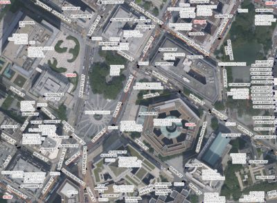
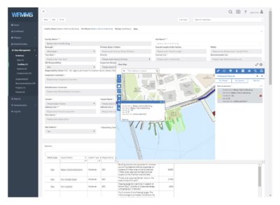
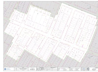
Our staff of application developers, analysts, and specialists helps government agencies realize the benefits of geospatial functionality. We support clients at all stages of implementing geospatial solutions – whether establishing new systems or refining and improving existing systems. Our proven approach begins with listening to and understanding our clients’ needs. We follow this step with the cost-effective implementation of proven technology to meet users’ needs and support existing business processes. Our depth of experience as an IT consultancy affords us a unique perspective on spatial data and geographic information systems solutions and allows us to use geotechnology in developing groundbreaking solutions for data collection, management, integration, and sharing.
How You Benefit
We help clients increase efficiency, resolve problems, and reduce IT costs. As agile consultants, LiRo-Hill offers top-shelf solutions for asset intelligence, meaningful data analysis and visualization, infrastructure maintenance and management, and mass communication. These solutions reveal patterns, connect initiatives, and inform decisions. With LiRo, clients maximize the value in their geotechnology and extend the reach of their data.
Choose LiRo-Hill to partner with you on solving your business challenges with geospatial technology.